Finding us > Driving Directions.

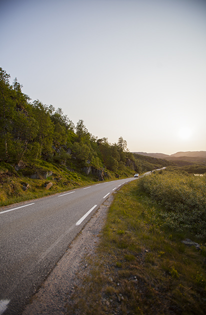
Not all roads will lead to Lysebotn and Kjerag, so we’d like to give you some directions. Please, keep in mind that Norwegian roads are often both curvy and very narrow and that these roads will also be used by heavy vehicles. Tunnels are common. Long tunnels, that is.
And be aware that roadside speed cameras are common – speed limits are among Europe’s lowest, while the reactions are certainly among Europe’s toughest.
The road to Lysebotn is very narrow and curvy; so narrow that it does not open until mid/late spring. A tunnel with a 180° curve inside the mountain has also been thrown in for effect.
FROM THE SOUTH – KRISTIANSAND
- Start from Kristiansand and take road RV 9 (Setesdalveien) towards Evje and Valle. Distance is approximately 140 km.
- Turn left on to road FV 337 towards Suleskard. Drive approx. 42 km
- Turn left towards Sinnes. Drive approximately 1 km and you will se the sign to Lysebotn.
- Turn right and drive approx. 32 km. The road is very curvy and narrow. You will see the Lysebotn Tourist Camp on you left side when you arrive in Lysebotn.
- Total driving time – about 4 hours.
For a map of this route, click here.
FROM THE EAST – OSLO
- Start from Oslo and take road E 18 to Drammen. Distance is approximately 30 km
- Turn into road E 134 towards Kongsberg and follow this road to Notodden, Seljord and Høydalsmo. Distance is approx. 167 km.
- Turn left into road RV 45 and follow this road approx. 73 km.
- Then turn left on to road RV 9 towards Valle. Drive circa 18 km.
- Turn right into Road FV 337 towards Suleskard. Drive approximately 42 km.
- Turn left towards Sinnes. Drive about 1 km and you will see the sign to Lysebotn.
- Turn right and drive approx. 32 km. You will see the Lysebotn Tourist Camp on your left side when you arrive in Lysebotn.
- Total driving time is about 6 hours.
For a map of this route, click here.
(Note: Odd route shown on map is due to roads closed during winter – driving directions above are correct.)
FROM STAVANGER
- Start from Stavanger and take road E 39 south, towards Ålgård. Distance is circa 30 km.
Also, to find the way from Sola Airport (SVG) to E 39 is easy-peasy. - Turn left and take road RV 45 towards Sirdalen. Drive approx. 70 km until you arrive in Sinnes.
- Turn left onto road RV 975 (at this junction, you will pass the last gas station – there is no gas station in Lysebotn, so plan your route carefully).
- Continue approx. 14 km and you will see the sign marked Lysebotn.
- Turn right and drive approximately 32 km. You will see Lysebotn Tourist Camp on your left side when you arrive to Lysebotn.
- Total driving time – about 2,5 hours.
For a map of this route, click here.
SBK Base
E-mail: sbkbase@gmail.com
Join us on Facebook
Phone: +47 98444159 (Only service in season from mid May – mid September)
